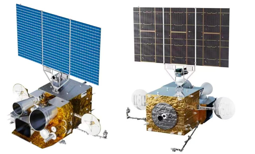
At 00:07 on December 27, the Fengyun-4C satellite (also known as Fengyun-4 03 satellite) was successfully launched. As the latest member of China’s second-generation geostationary meteorological satellite Fengyun-4 series, what super capabilities does the Fengyun-4C satellite have in monitoring and early warning of extreme weather and addressing climate change? What other meteorological satellites will China launch in the near future? Reporters from Xinhua News Agency conducted an exclusive interview with relevant experts from the China Meteorological Administration on these issues.

A Comprehensive Leap in Observation Performance
“The newly launched Fengyun-4C satellite has achieved an all-round leap in observation performance. All six payloads it carries have reached the international advanced level, which will greatly improve the frequency and accuracy of monitoring and early warning for meso- and micro-scale weather systems,” said Cao Xiaozhong, Director-in-Chief of the Fengyun Meteorological Satellite Project and Deputy Administrator of the China Meteorological Administration.
Tang Shihao, Director-in-Chief of the Fengyun-4 ground system, noted that the Fengyun-4C satellite will replace the Fengyun-4A satellite that has been in orbit beyond its designed service life, and form a network with the Fengyun-4B satellite to conduct large-scale and high-frequency meteorological observations at an altitude of 36,000 kilometers above the equator. It is currently the geostationary meteorological satellite with the strongest comprehensive detection capability per satellite in the world.
- Faster: The spatial resolution of the Geostationary Orbit Radiation Imager has doubled. It can conduct full-disk observations of China and its surrounding areas at an interval of as short as 5 minutes, and also has the capability of continuous and rapid regional imaging at 1-minute intervals. This enables accurate depiction of the evolution of meso- and micro-scale weather systems, achieving a dual improvement in monitoring frequency and precision.
- More Precise: The spatial resolution of the Interferometric Atmospheric Vertical Sounder has been refined from 12 km to 8 km, supporting routine observations at 1-hour intervals and intensive observations at 15-minute intervals. It provides higher-precision data for regional numerical weather prediction and typhoon model forecasting. Meanwhile, it conducts uninterrupted global lightning monitoring throughout the year.
- Wider Coverage: The Multi-band Ionospheric Ultraviolet Spectral Imager has realized China’s first ionospheric spectral imaging. The Solar Extreme Ultraviolet Imager can perform full-disk solar observations with high spatiotemporal resolution, and the Solar X-ray and Ultraviolet Band Flux Monitor will provide source monitoring data for early warning of space weather events such as solar protons and flares.
More Accurate and Advanced Early Warning
Lu Feng, Chief Engineer of the Fengyun-4 optical satellite ground system, stated that with its significantly enhanced observation performance after deployment, the Fengyun-4C satellite will deliver more accurate and advanced monitoring and early warning of disasters such as severe convective weather and typhoons, further strengthening the capacity for disaster prevention and mitigation.
In the monitoring of severe convective weather, the temporal resolution of the Fengyun-4C satellite for tracking the formation, dissipation and movement of severe convective cloud clusters has increased by 33% compared with the Fengyun-4B satellite, with a maximum spatial resolution of 250 meters. Taking summer severe convection in South China as an example, the satellite can predict the falling areas and intensity of hail and short-duration heavy rainfall 1 to 2 hours in advance, raising the accuracy rate of short-term and imminent warnings for severe convective weather by about 20% and extending the average early warning lead time by 15 to 30 minutes.
In typhoon monitoring and early warning, the Fengyun-4C satellite can capture rapid changes in temperature and humidity in the typhoon’s inner core region, predict abrupt changes in typhoon intensity in advance, and greatly reduce errors in typhoon track and intensity forecasts. It serves as a reliable “meteorological advisor” for coastal areas to make disaster prevention arrangements in advance, such as recalling fishing vessels to harbors and evacuating personnel.
Stronger Capacity to Address Climate Change
After its deployment, the Fengyun-4C satellite, with its upgraded observation performance, will inject “data momentum” into numerical forecasting through atmospheric composition detection, further enhancing China’s capacity to address climate change.
The satellite conducts continuous observations of a range of atmospheric components as well as parameters including humidity, clouds and radiation, significantly improving the spatiotemporal resolution and precision of observation data. It can greatly reduce errors in quantitative 24-hour precipitation forecasts and enable more accurate simulation of the chemical causes of weather phenomena such as sandstorms and haze.
For extreme high temperatures, it retrieves surface temperatures every 10 minutes to accurately capture the diurnal variations and spatial scope of heatwaves. For instance, during periods of extreme high temperatures in the Yangtze River Basin, the satellite can clearly monitor the eastward migration of the core high-temperature zone from the Sichuan Basin, providing a reliable basis for issuing early warnings.
For droughts, it identifies the occurrence and development of droughts through high-frequency monitoring of vegetation indices and surface temperatures, and provides daily or weekly information on drought intensity and coverage.
For floods, it monitors cloud system development and precipitation potential almost in real time during rainstorms, and rapidly assesses inundation areas in the aftermath of floods.
“The Fengyun-4C satellite’s ability to seamlessly integrate monitoring, early warning and assessment has made geostationary satellites an irreplaceable space-based data source for responding to the increasingly frequent extreme disaster events, issuing disaster warnings and carrying out disaster prevention and mitigation,” said Qin Danyu, Chief Engineer of the Application System of the Fengyun Meteorological Satellite Project.
In addition, the Fengyun-4C satellite can continuously monitor hourly, daily, monthly, seasonal and annual changes in key climate variables such as clouds, atmospheric water content, precipitation potential, surface temperature and radiation budget. It provides a continuous observation sequence for studying regional climate change issues including monsoon onset, regional water cycle, changes in surface sensible heat flux over the Qinghai-Tibet Plateau and urban heat islands.
New Members Continuously Joining China’s Meteorological Satellite Family
According to official sources, following the successful launch of the Fengyun-4C satellite, China will continue to launch more optical satellites of the Fengyun-4 series and the world’s first geostationary orbit microwave sounding satellite in the future.
Tang Shihao said that the Fengyun-4C satellite, together with the in-orbit Fengyun geostationary and polar-orbiting meteorological satellites, will form a collaborative observation system, significantly enhancing the capability of global and regional meteorological disaster defense and supporting the construction of a Beautiful China. China will continue to launch Fengyun-3 and Fengyun-4 series satellites to further improve the second-generation meteorological satellite observation system, and simultaneously carry out preliminary research on the third-generation meteorological satellites.
Lu Feng introduced that the Fengyun-4C satellite is expected to be positioned at 133 degrees east longitude, extending the monitoring coverage of Fengyun meteorological satellites to the central Pacific region.
Up to now, China has successfully launched 23 meteorological satellites of four types across two generations, with 10 satellites operating stably in orbit. China provides full-series data sharing and application services of Fengyun satellites to 133 countries and regions around the world, covering the countries and regions participating in the Belt and Road Initiative. These satellites are widely applied in meteorological forecasting, disaster prevention and mitigation, scientific research and other fields.